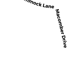
52 MACOMBER DR
YARMOUTH PORT, MA02675
Owner Information
WINSLOW ACRES ASSOC
11 MACOMBER DR
YARMOUTH PORT, MA 02675


Property Details
52 MACOMBER DR is classified as a Undevelopable Residential Land (Vacant land).
52 MACOMBER DR is valued at $34,800. The land is valued at $34,800 and the structures are valued at $0.
The most recent deed for 52 MACOMBER DR is recorded at the local registrar in Book 3512, Page 340. 52 MACOMBER DR was last sold on Tuesday, July 6, 1982 for $0.
Assessment data from fiscal year 2022.
Flood Data
This property is completely within the AE Zone (within floodplain).
The base flood elevation for this flood zone is 9 feet.
This information is sourced from the FEMA National Flood Hazard Layer. See our full disclamer.
Broadband Internet Providers
| Provider | Type | Bandwidth (mbps) | |
|---|---|---|---|
| T-Mobile | Fixed Wireless | 25 | 3 |
| Comcast | Cable | 1000 | 35 |
| GCI Communication Corp. | Satellite | 0 | 0 |
| HughesNet | Satellite | 25 | 3 |
| VSAT Systems, LLC. | Satellite | 2 | 1 |
| Verizon New England Inc. | DSL | 5 | 0 |
| Viasat Inc | Satellite | 35 | 3 |
Broadband service provider data from December 2020.